The Rychleby Mountains form a boundary ridge in the northwest Jeseníky region. They follow the massif of Kralický Sněžník and extend further north to the village of Bílá Voda. They are said to be the most deserted Czech mountains.
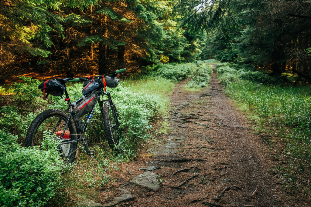
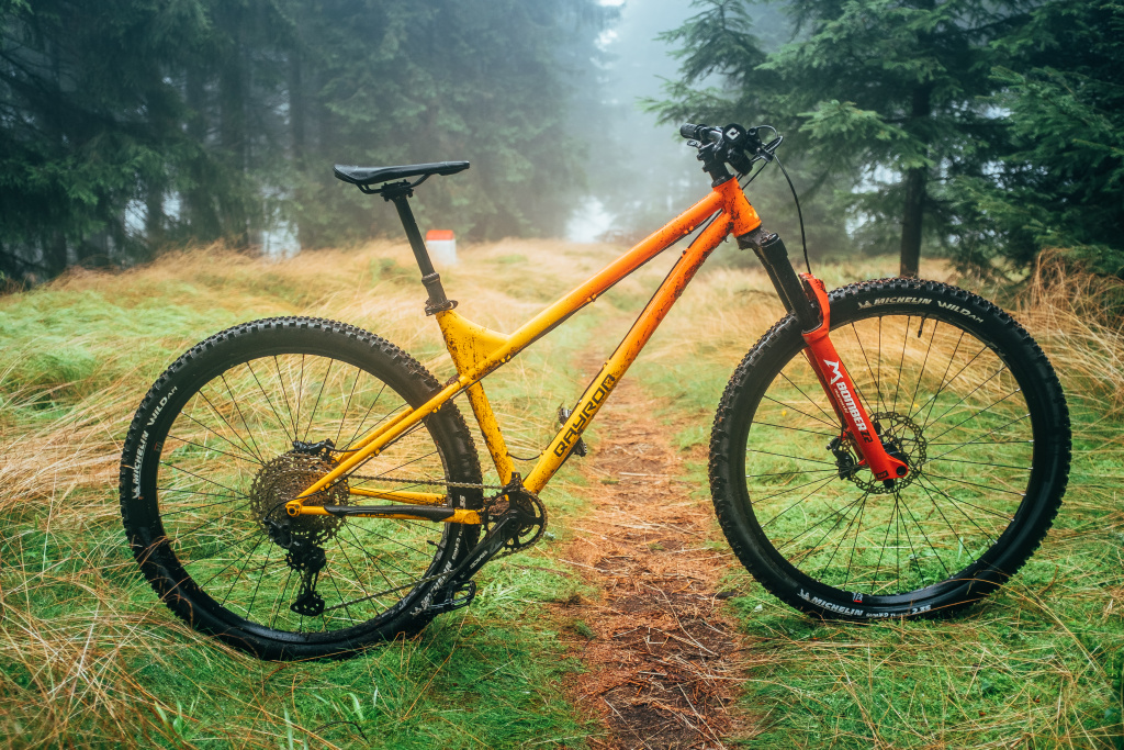
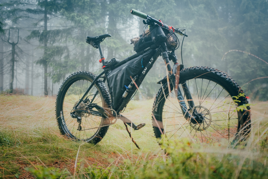
I’ve heard things about the Rychleby Mountains. Always so half-whispered that someone might not say something, and always superlative. Something had already been written about biking potential on the Internet, so when the redesign of my “trail-packing” bike was done, I headed straight there.
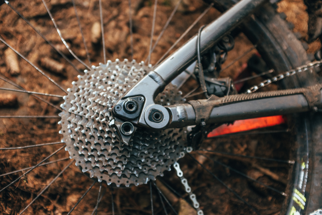
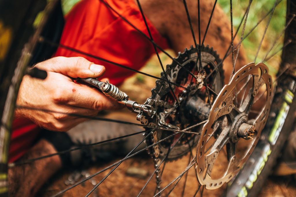
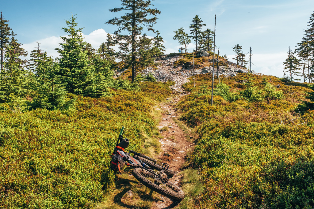
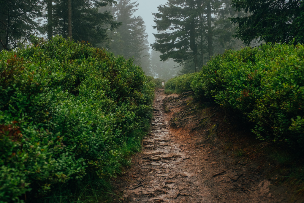
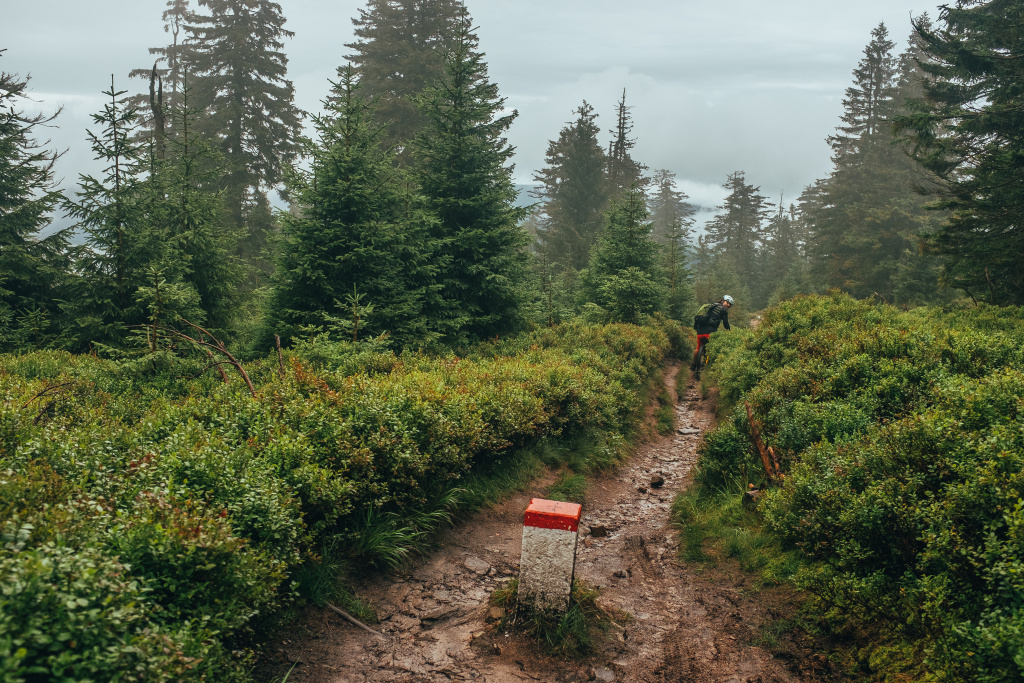
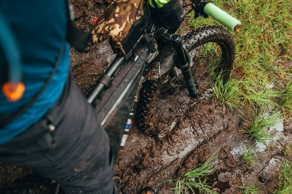
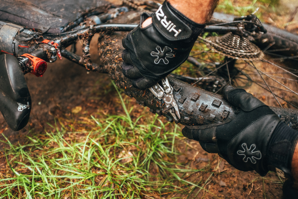
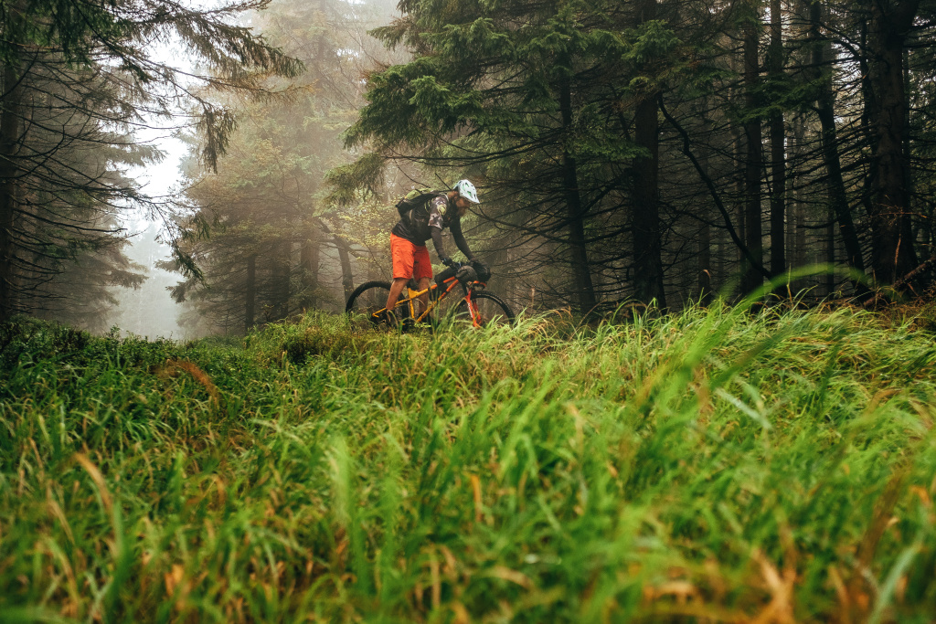
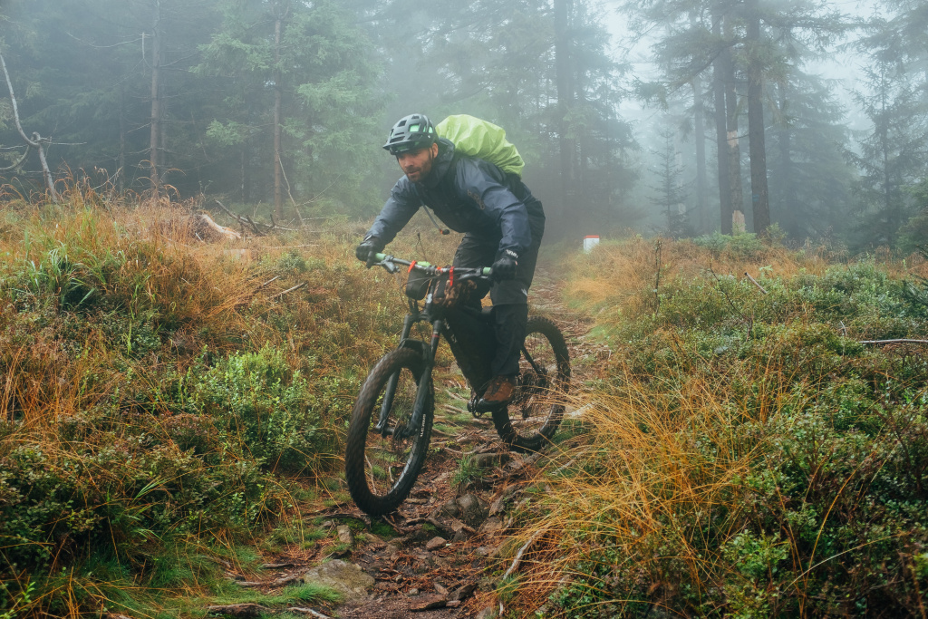
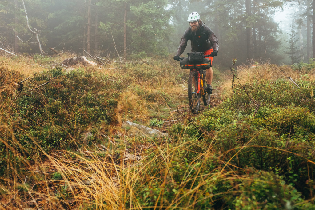
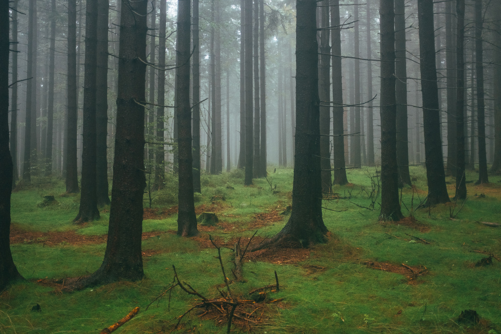
On the first attempt to cross the ridge, we were faced with bad luck in the form of an offended derailleur. Although we don’t like to see it, these things happen in backcountry. Repairs on the spot were not possible, so the route was left hanging in the air. But the first taste left such a deep impression that we returned at the first opportunity. We were able to experience two completely different faces of the mountains, and on the first try there was almost perfect summer weather with a cleared sky and a dry trail. For the second time, moisture could be cut, fog reduced visibility to a few dozen meters, and wet roots shifted both intensity and danger into the red.
Richer with our first experience, we have improved a route plan that has worked well for us and we can recommend it. As the ridge itself is 50 kilometres long, it is important to make a good choice between the beginning and the end. We chose the town of Javornik as both the starting and the ending point, which surprised us with a neat centre and a grandiose view of the Chateau Jánský Vrch. There’s a train from Javornik all the way to Staré město pod Sněžníkem. But beware, even though it is 70km, the journey takes 2.5h and has to be crossed twice. It’s already climbing up the ridge from Staré Město.
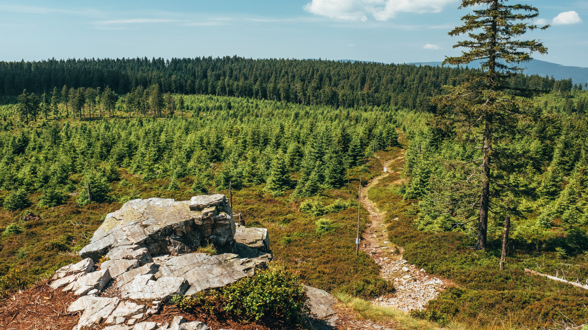
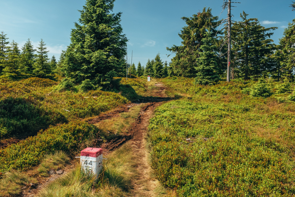
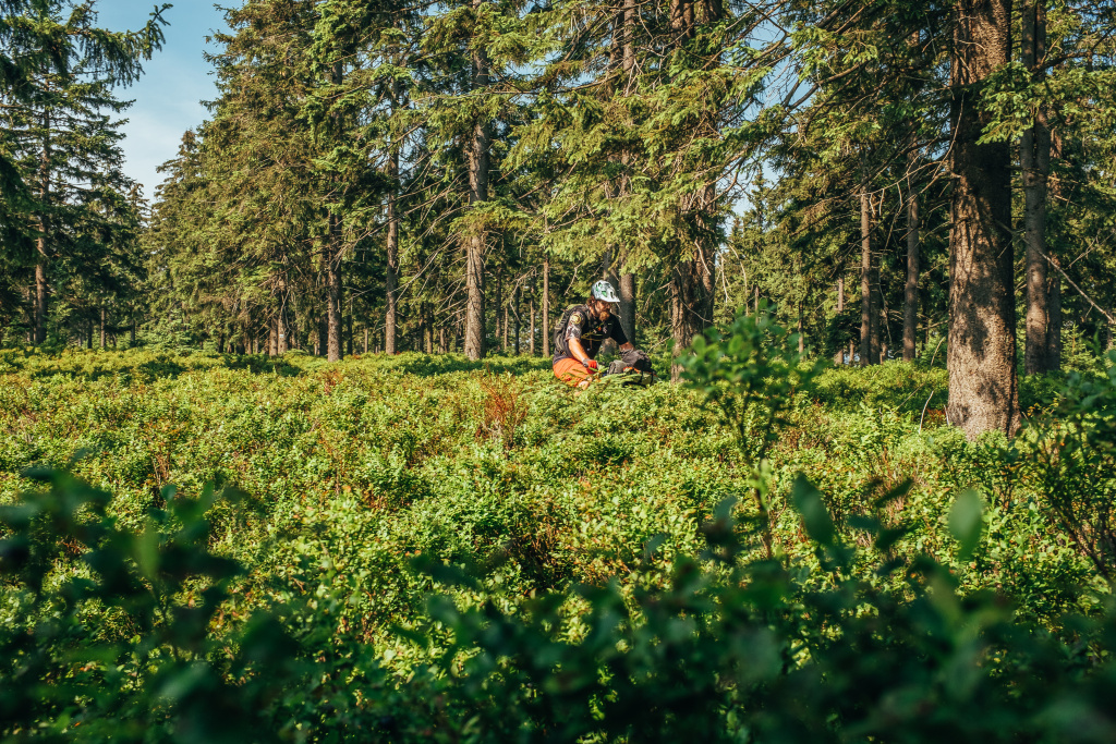
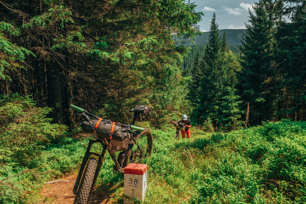
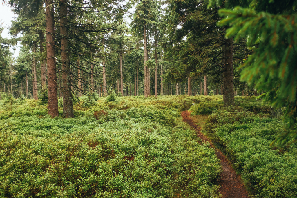
Kralický Sněžník as a nature reserve is forbidden to us cyclists. Fortunately, its ridge can be boarded before the reservation boundary, in the first return trip over Adele’s Spring, where a blue-red gravel road meets a green trail along the border abutments. These will keep you company for the rest of the route from now on. After a lengthy roll-out, the first descent starts pretty hard here. The narrow path falls through grass and blueberry on rocks, over thresholds, roots, stairs and all at a hell of a pace. The very perfection that separates the wheat from the chaff at the outset. Beyond, the path swings nicely through the woods to the final descent into the Kladský sedla, which separates the Kralický Sněžník massif from the Rychleby Mountains. Here, too, is the only refreshment directly on the route, and perhaps goes to sleep in one of the luxuriously furnished safari tents behind the terrace. From the pub in the saddle, you need to push a little and gain some altitude. The reward is a beautiful, undemanding section where the path winds into waist-high blueberry.
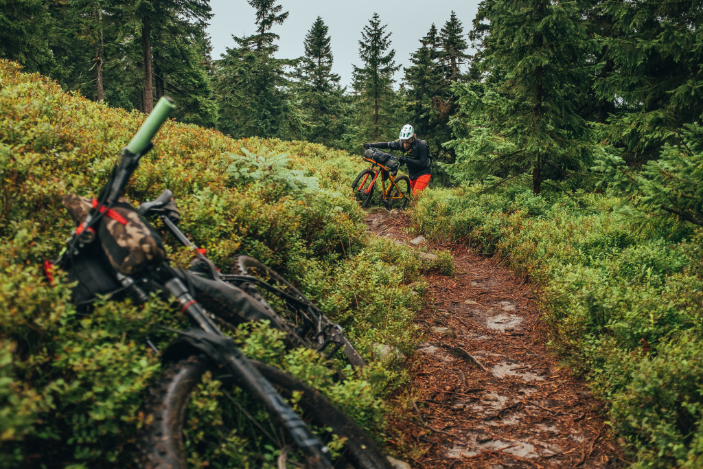
Up to the Smrk mountain, the vast majority of the route is negotiable. A few dozen yards beyond the Smrk, you can drive down from the ridge to the Silver Creek (Stříbrný potok) and refill the water. I recommend an ideal place for lunch, where you can get as much water as you need to cook, and you don’t have to drag it around on your bike from morning onwards. You won’t find a spring right on the ridge. Here, too, the easy part ends, and the honest “hike-a-bike” terrain begins, where the still brilliant and technical slopes alternate romantic walks through the forest with the bike at their side. That’s the place to appreciate comfortable shoes.
Another good check point is the small Silver Spring Forest Bar ( Lesní bar Stříbrný pramen) , where you can easily refresh and stock up for the evening. Unfortunately, there is no good place to stay near it. From the silver spring you can easily slide off the ridge back to Javornik, but that would be a big mistake. Indeed, it makes sense to drive the whole ridge to Bílá Voda village, for even in the end it takes nothing in beauty or fun. Plus, I’d say the final descent into Bílá Voda village is one of the very best the ridge has to offer.
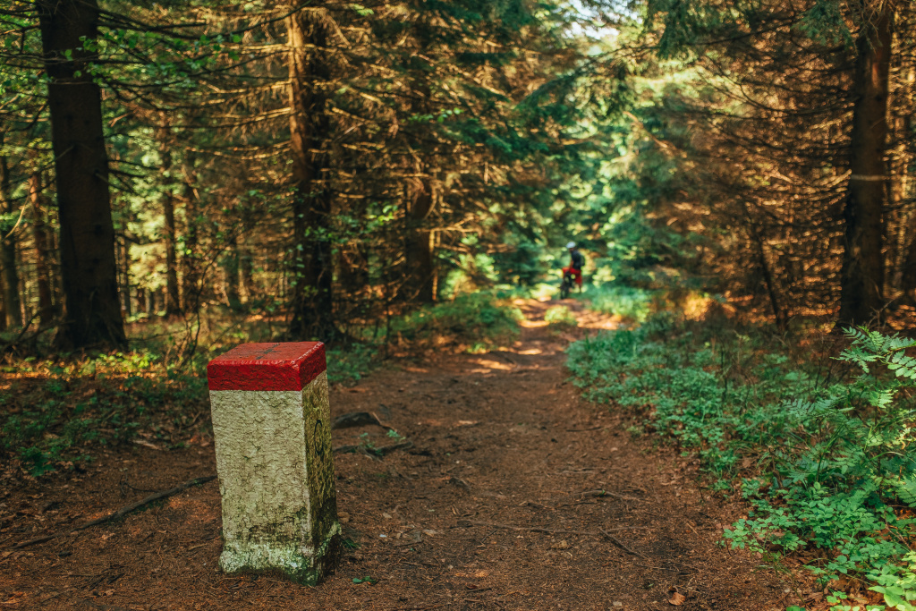
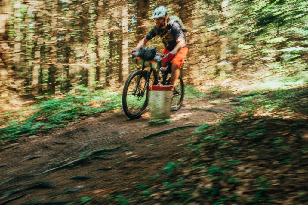
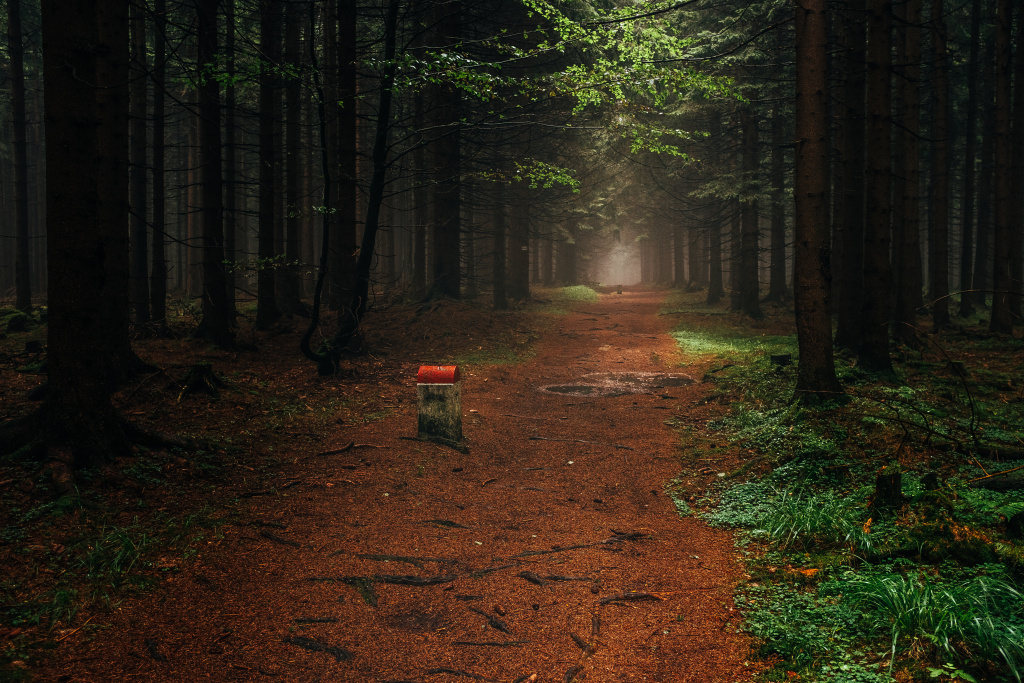
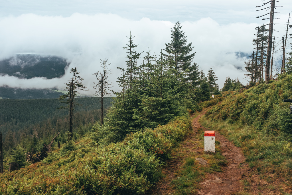
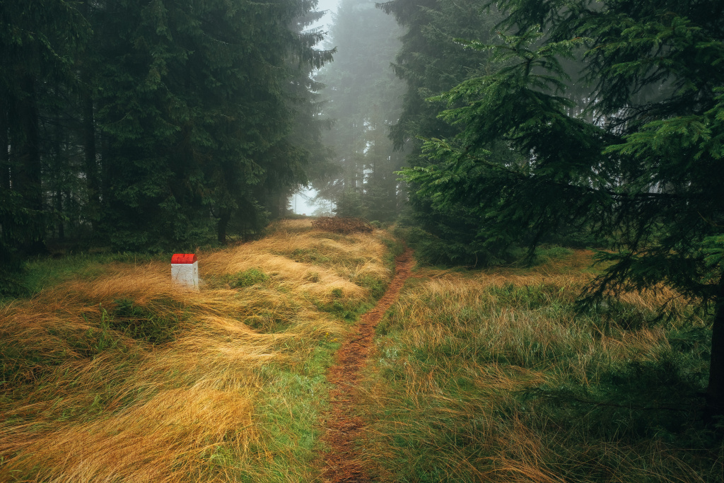
The ridge itself is about 50 kilometres, and I wouldn’t be afraid to say that they are ⅔ singletrack. Plus, a singletrack who entertains all the time. Border markers, as silent companions, give the ridge a slightly mysterious atmosphere. They’ve probably been through a lot. Sadly, Rychleby Mountains are no longer as deserted as they say. More and more people come to see the desolation, so it’s actually fading away. Still, there’s still a good chance that you won’t meet anyone most of the time and enjoy all this beauty and freedom in your own way. For me, the Ridge of the Rychleby is clearly the best and nicest trail route I have ever taken in the Czech Republic and I know for a fact that I will return to it regularly.
Note: treat the route map as indicative. Unfortunately, we weren’t able to import the route log, and all I had to do was click on her map. That’s why he doesn’t go for the boundary in the last third and he’s going around frantically. In the field, navigation is perfectly simple. Stay on the boundary markers.

Distance
76 km

Total ascent
2448 m

Difficulty
4 z 5

Days
2
 76 km
76 km 2448 m
 4 z 5
4 z 5 2
2

Discussion